RF Path 3.51 ios官方版
大小:8.7 MB
时间:2023-05-23
平台:
软件简介
RF Path provides propagation loss calculations for radio frequencies (RF) between 20 MHz and 20 GHz using the Longely-Rice model. The calculations are based on both electromagnetic theory and the statistical analysis of terrain characteristics to calculate the degradation of the RF wave as a function of distance and the variability of the RF wave with respect to time and space.
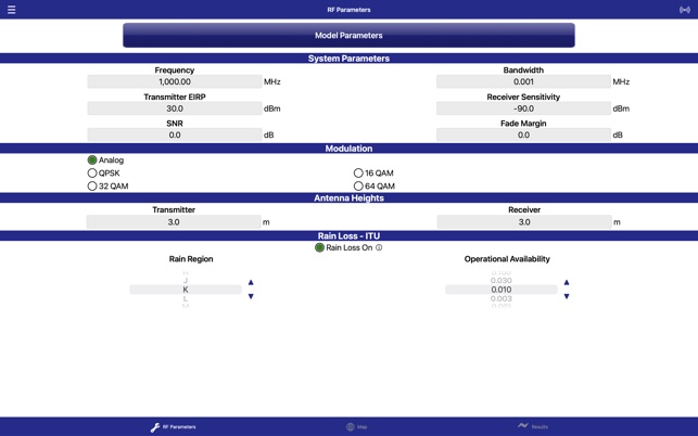
- Path model includes entering EIRP and receive system sensitivity to determine overall RSSI.
- Detailed information for each point in the propagation path
- Rain region affects (ITU and Crane rain fade models)
- Decimal latitude/longitude, Degrees/Minutes/Seconds (DMS), Universal Transverse Mercator (UTM), Military Grid Reference System (MGRS) coordinate systems
- Map search by address, location name, or coordinates (Lat/Lon, DMS, UTM, MGRS).
- Ability to edit site locations
- Display of calculated propagation noise floor
- Bit Error Rate (BER) threshold selection
- Modulation selection


